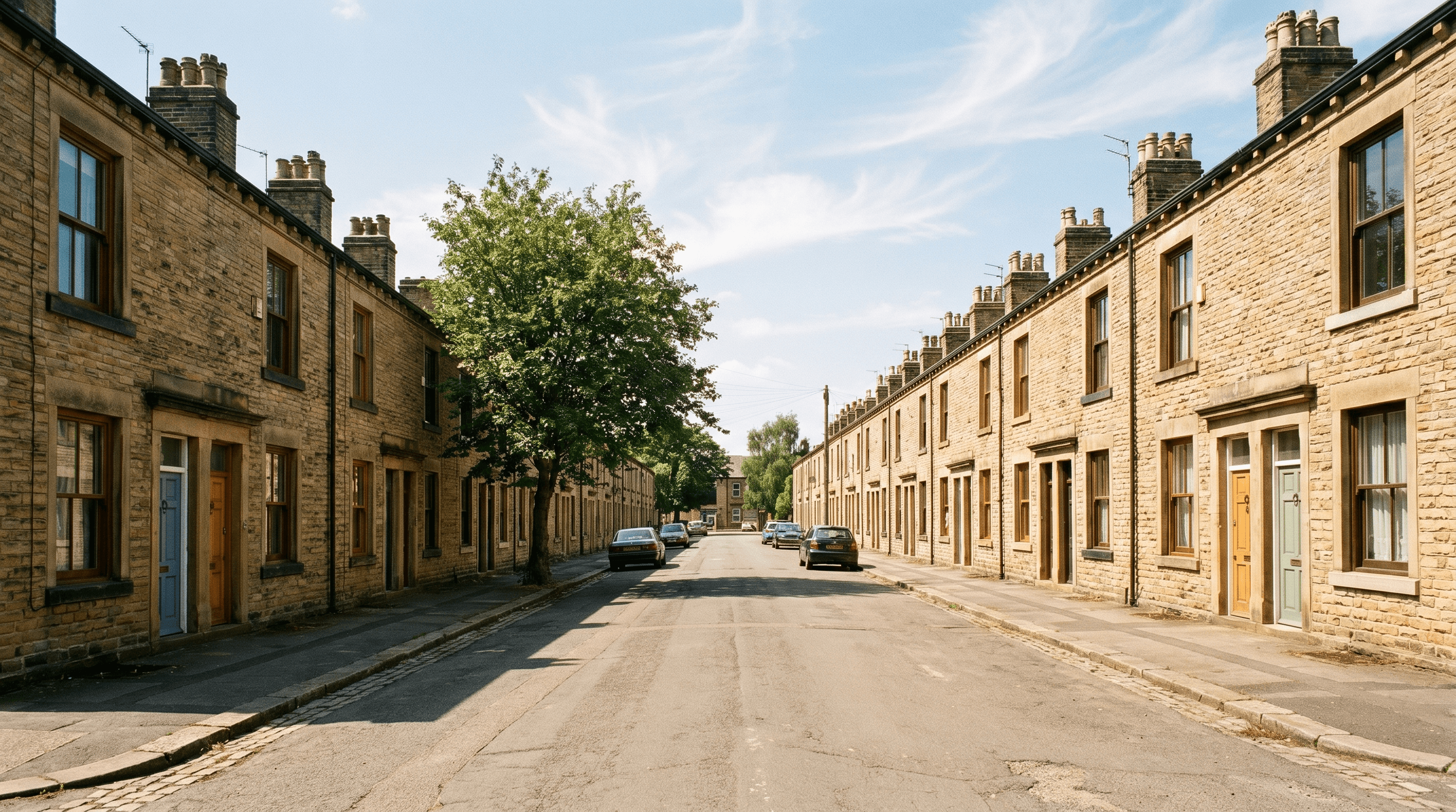
Buying in Leeds
Leeds is one of the fastest-growing property markets in England — and one of the most varied in terms of risk profile. The city straddles the River Aire, which has flooded multiple times this century, while South Leeds sits above a significant Coal Authority standing advice zone. Areas popular with students and young buyers — Headingley, Hyde Park, Burley — carry specific licensing and planning history risks that other markets do not. Eavesdrop runs 66 public-register checks on any Leeds address, covering flood, mining, conservation, and licensing before you make an offer.
River Aire flood mapping: lessons from 2015 and 2020
The River Aire's Boxing Day 2015 flood was the most severe recorded in Leeds since 1866, inundating approximately 3,300 properties in Kirkstall, Horsforth, Knaresborough Road, and the Calls area of the city centre. The 2015 event exceeded the 1 in 100 year flood level at Armley and Kirkstall gauging stations — the threshold that defines Environment Agency Flood Zone 3a (high probability) — by a significant margin. The Yorkshire December 2019 and February 2020 flooding episodes returned to the same areas only four years later, demonstrating that the "100-year flood" framework significantly underestimates actual recurrence intervals under current climate conditions.
The Environment Agency's Aire Catchment Flood Management Plan identifies the central Leeds Flood Zone 3a boundary — which extends from the Calls and Riverside area through to Kirkstall Abbey — as requiring ongoing management intervention. The Leeds Flood Alleviation Scheme Phase 1 (completed 2017) has raised defences for approximately 3,000 properties to a 1 in 75 year standard. Phase 2 will extend protection further upstream toward Horsforth and Kirkstall. However, residual risk within the defended area remains — the defences do not eliminate flood risk; they manage it. Properties behind EA flood defences are still classified in Flood Zone 3 and will face elevated insurance premiums and potential Flood Re involvement (Flood Re Limited Annual Report 2024).
Eavesdrop checks the EA National Flood Risk Assessment and the Leeds Flood Alleviation Scheme defence mapping for every address. The full flood risk check surfaces current flood zone, surface water probability, defence standard, and Flood Re eligibility.
Brownfield redevelopment in Holbeck, Hunslet, and South Bank
Leeds City Council's Local Plan 2023 allocates 15,000 new homes on brownfield land in the South Bank regeneration area — the largest brownfield regeneration site in Northern England. Holbeck, Hunslet, and the Kirkgate corridor contain former manufacturing sites, gas works land, and railway infrastructure that require environmental assessment before residential development. Where conversion of former industrial land to residential use has already occurred, conveyancers typically require a Phase 1 Desk Study and, where contamination pathways are identified, a Phase 2 Site Investigation.
The planning history of brownfield sites in South Leeds often includes multiple planning applications with remediation conditions — some discharged, some not. A planning history check reveals whether the site-specific remediation conditions have been formally discharged by Leeds City Council, which is a critical step buyers of new-build properties on former industrial land should verify before exchange. Eavesdrop checks the planning history for every Leeds address, including consent conditions and discharge notices on the subject site and immediately adjacent parcels.
South Leeds coal mining and the Coal Authority standing advice zone
The West Yorkshire Coalfield runs beneath South Leeds, Morley, and parts of Beeston. The Coal Authority's National Coal Mining Database records working collieries and shallow drift mines throughout this area, many of which were abandoned without formal closure documentation before modern regulatory requirements were in place. The Coal Authority Mining Report Standing Advice area covers significant parts of the LS10, LS11, LS27, and WF3 postcode areas.
Properties in these areas require a Coal Mining Report as part of a standard conveyancing search pack. Where the Report returns a "Do Pass" or "Do Not Pass" response, conveyancers typically recommend further investigation through a Coal Authority Mining Interpretive Report. Ground instability from historic pillar-and-stall workings can affect foundations and drainage — RICS-qualified structural engineers are recommended where a standard HomeBuyer Report flags signs of differential settlement in properties over Coal Authority standing advice zones. Eavesdrop checks the Coal Authority database for every Leeds address. See the subsidence risk explainer for detail on what a Coal Mining Report covers and how to interpret the results.
Conservation areas: Headingley, Roundhay, and Chapel Allerton
Leeds City Council designates 40 conservation areas across the metropolitan district (Leeds City Council Conservation Area Register, 2024). Headingley — one of the most active residential property markets in Leeds — includes two conservation areas covering the Victorian and Edwardian terracing on the slopes above the Otley Road corridor. Roundhay, Chapel Allerton, and Horsforth also carry conservation area designation that affects permitted development rights.
Within designated conservation areas in Leeds, alterations to the external appearance of buildings — including window replacement, external cladding, satellite dishes, and front garden surfacing — typically require planning consent. Leeds City Council has introduced Article 4 directions in several conservation areas removing permitted development rights for specific alterations, and has an active enforcement policy in areas of high heritage value. Buyers planning material alterations should check whether works are permissible before committing to purchase. Eavesdrop checks conservation area designation and Article 4 direction status for every Leeds address.
HMO licensing density in Headingley and Hyde Park
Headingley and Hyde Park are among the highest-density Houses in Multiple Occupation (HMO) areas in England, driven by proximity to the University of Leeds and Leeds Beckett University. Leeds City Council operates a Selective Licensing scheme in designated areas (Leeds Selective Licensing scheme 2020–2025) requiring all rented properties — not just HMOs — to be licensed. In parts of Hyde Park and Burley, mandatory HMO licensing applies to all properties occupied by five or more persons from two or more households.
For buyers purchasing a property they intend to occupy as a family home in these areas, the surrounding density of licensed HMOs has practical implications: party-wall noise, refuse management, and neighbourhood character are all affected. For investors purchasing to let, confirming the current licence status of the property — and understanding the conditions of the local authority's licensing scheme — is essential before exchange. An unlicensed HMO is a criminal offence under the Housing Act 2004, and incoming buyers can be held responsible for breaches they did not originate if they fail to notify the local authority of a change of ownership. Eavesdrop flags HMO licensing status and selective licensing designation for any Leeds address where these schemes apply. The full planning history check also surfaces any planning conditions attached to an HMO consent on the specific address.